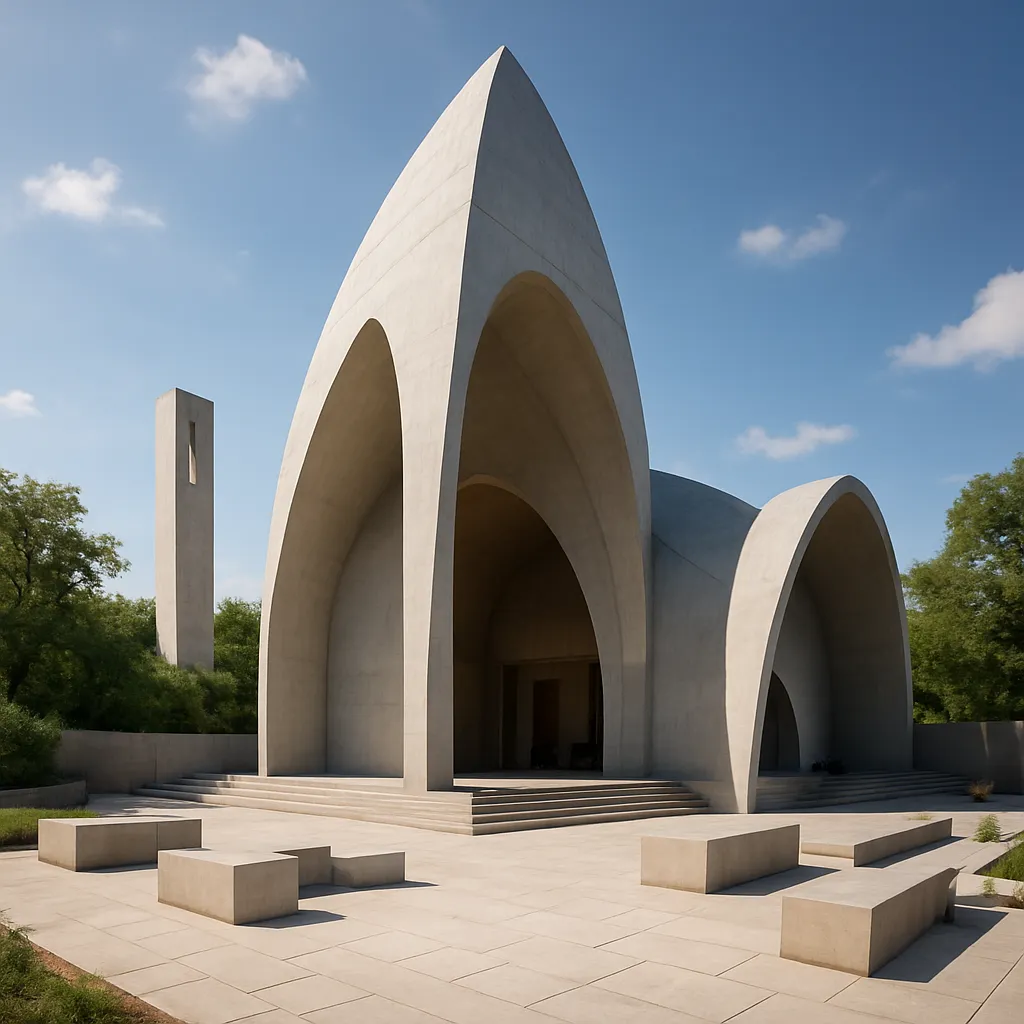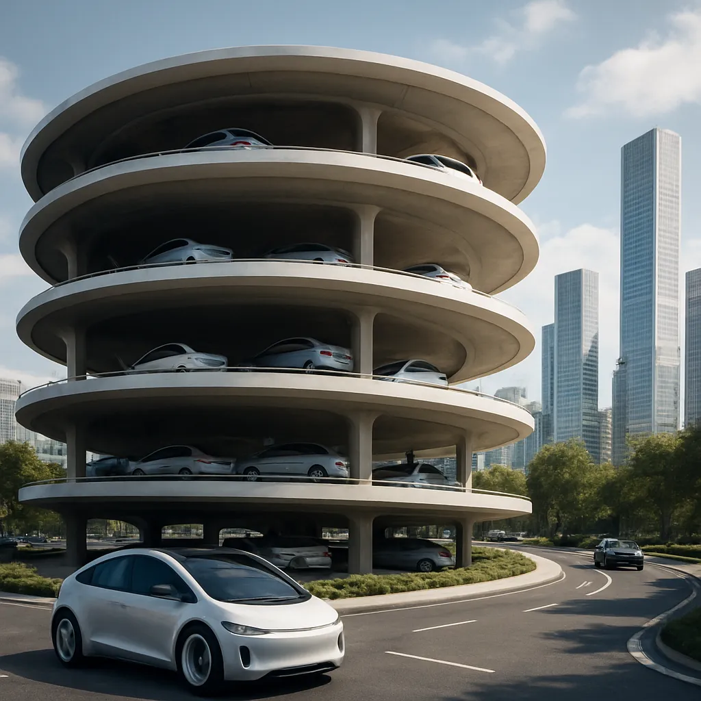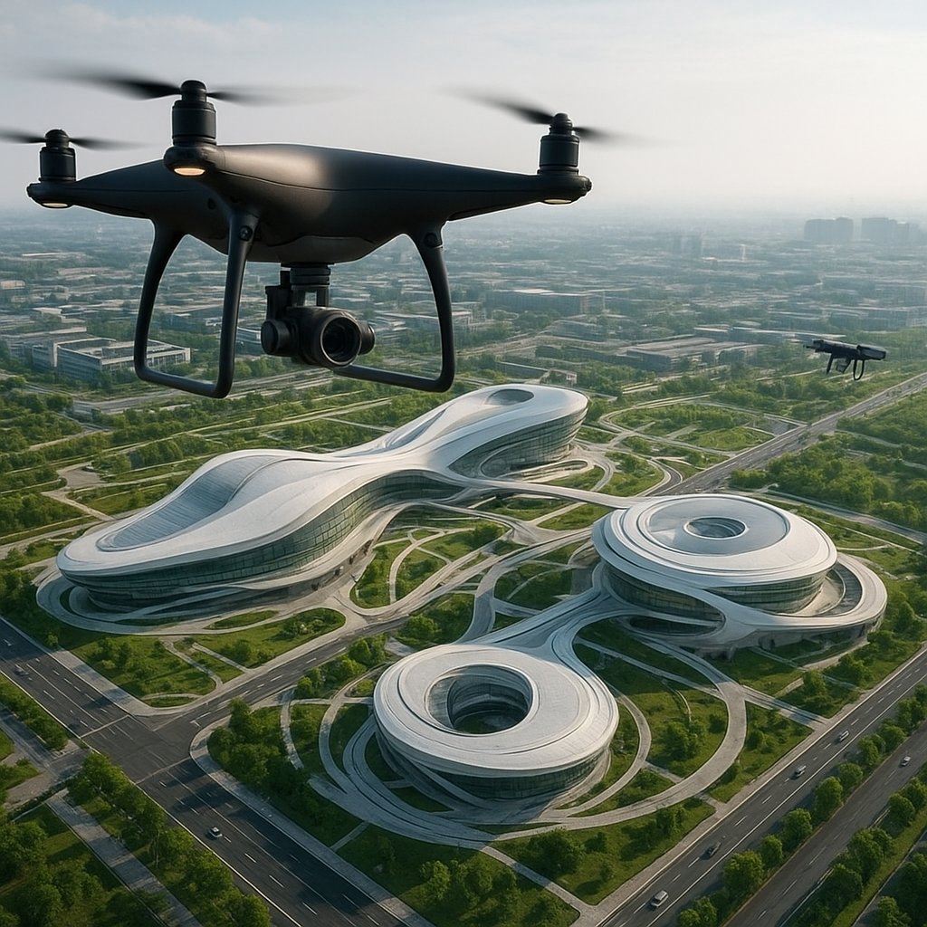
The convergence of aerial imaging and cutting-edge design methodologies has ushered in a new era of futuristic architectural planning. Drone photography has become an indispensable tool for architects, engineers, and urban planners seeking to push the boundaries of form, function, and environmental harmony. By capturing detailed perspectives from above and integrating these datasets into digital models, professionals unlock unprecedented levels of precision, innovation, and sustainable decision-making in their creative processes.
Integration of Drone Photography into Design Processes
Architects have always relied on accurate site analysis, but traditional survey methods can be time-consuming and limited in scope. The deployment of unmanned aerial vehicles (UAVs) equipped with high-resolution cameras revolutionizes fieldwork by gathering comprehensive data within hours. This seamless integration of real-time imagery into Building Information Modeling (BIM) software enhances the design workflow at several critical stages:
- Topographical Mapping: Drones generate detailed elevation maps that guide foundation planning and landscape integration.
- Contextual Studies: Aerial shots reveal surrounding infrastructure, solar exposure, and wind corridors, informing façade orientation and material choices.
- Progress Monitoring: Regular drone flights document construction phases, enabling adaptive scheduling and resource allocation.
Leveraging these aerial perspectives, design teams can iterate faster and refine spatial configurations with a level of accuracy previously unattainable.
Seamless Collaboration Across Disciplines
By sharing drone-captured datasets via cloud-based platforms, architects, structural engineers, landscape designers, and sustainability consultants coordinate more effectively. The symbiosis of disciplines is strengthened when all stakeholders operate from a unified geospatial reference, reducing errors and accelerating approvals. As a result, plans for skyscraping complexes, civic plazas, or experimental pods benefit from a holistic approach to form-making and performance analysis.
Enhancing Spatial Analysis and Visualization
One of the greatest contributions of drone photography lies in its ability to feed volumetric photogrammetry engines. These algorithms reconstruct three-dimensional site models with remarkable fidelity. Designers then import these meshes into VR environments to test user experience, scale, and circulation paths.
- Dynamic Sun Studies: By simulating solar trajectories against the 3D context, planners optimize shading strategies and energy consumption.
- Wind Flow Visualization: Computational fluid dynamics can overlay wind vectors on the point clouds, guiding aerodynamic building forms.
- Augmented Reality Overlays: Stakeholders use AR headsets on-site to visualize proposed structures in situ, aligning expectations before ground is broken.
This integration of drone imagery with advanced visualization fosters more informed decision-making and a deeply immersive stakeholder experience.
From Data to Design Inspiration
Beyond technical analysis, drone footage offers designers fresh aesthetic perspectives. The play of lines, shadows, and textures captured from above inspires facade rhythms, material palettes, and even urban-scale patterns. By embracing the poetic qualities of aerial views, architects infuse their projects with a sense of context-driven narrative.
Driving Sustainability and Environmental Monitoring
Futuristic architecture inherently aspires to minimize ecological footprints. Drone photography serves as a key ally in this quest by enabling continuous environmental monitoring and site assessment without invasive methods. Critical tasks include:
- Vegetation Surveys: Multispectral cameras detect plant health and guide green roof or living wall installations.
- Soil Erosion Tracking: Time-lapse aerial imaging reveals landscape changes, informing erosion control and drainage solutions.
- Water Management Analysis: Thermal sensors identify moisture patterns, helping design efficient rainwater harvesting systems.
These applications reinforce a commitment to regenerative design principles and the creation of buildings that adapt sympathetically to natural systems.
Adaptive Reuse and Heritage Conservation
Drone photography also benefits projects involving existing structures. Precise documentation of historical monuments or industrial relics supports adaptive reuse initiatives, ensuring that modern interventions complement and preserve cultural values. Through detailed aerial mapping, architects determine structural vulnerabilities and benchmark preservation strategies against accurate baseline data.
Challenges and Future Developments
Despite its transformative potential, drone photography in architectural planning faces regulatory, technical, and operational hurdles. Airspace restrictions, data privacy concerns, and battery life limitations remain obstacles. However, ongoing advancements promise to mitigate these issues and broaden capabilities:
- Swarm Intelligence: Coordinated fleets of lightweight drones will cover vast sites simultaneously, reducing mission time.
- AI-Powered Analytics: Machine learning will automate feature extraction, detecting structural anomalies or material degradation from flight footage.
- Enhanced Payloads: Next-generation sensors combining LiDAR, hyperspectral, and thermal imaging will deliver richer datasets for comprehensive design insights.
As regulations evolve and technology matures, architects will harness drone-derived intelligence to realize more sustainable, adaptive, and visionary environments. The collaboration between human creativity and autonomous aerial platforms charts a course toward cities and buildings that respond dynamically to shifting needs, environmental pressures, and aesthetic aspirations. In this unfolding narrative of futuristic architecture, drone photography stands as a catalyst for reimagining how we design, build, and inhabit the world.